
Precision 3D Scanning & Imaging for Construction, Real Estate, and Industry
We provide high-accuracy 3D scanning and imaging for real estate, construction, and business applications—saving time, reducing risk, and bringing projects to life.
we offer

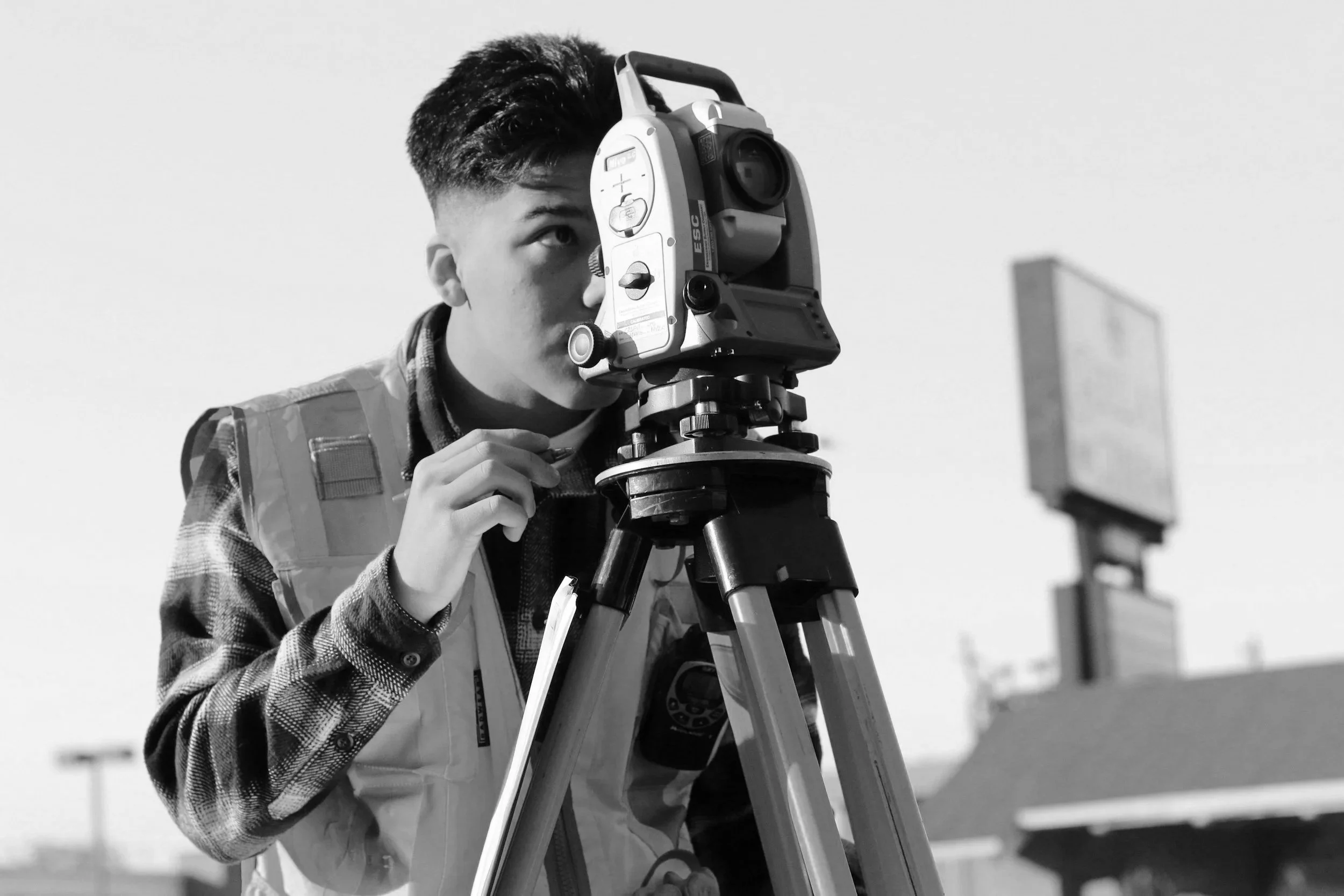
accurate lidar scanning
Within 20mm for trustworthy measurements.
Fast turnaround
Projects delivered within days, not weeks.
CaD/BIM ready
Exports seamlessly for architects & engineers.
Drone imaging
Aerial documentation for roofs & sites.
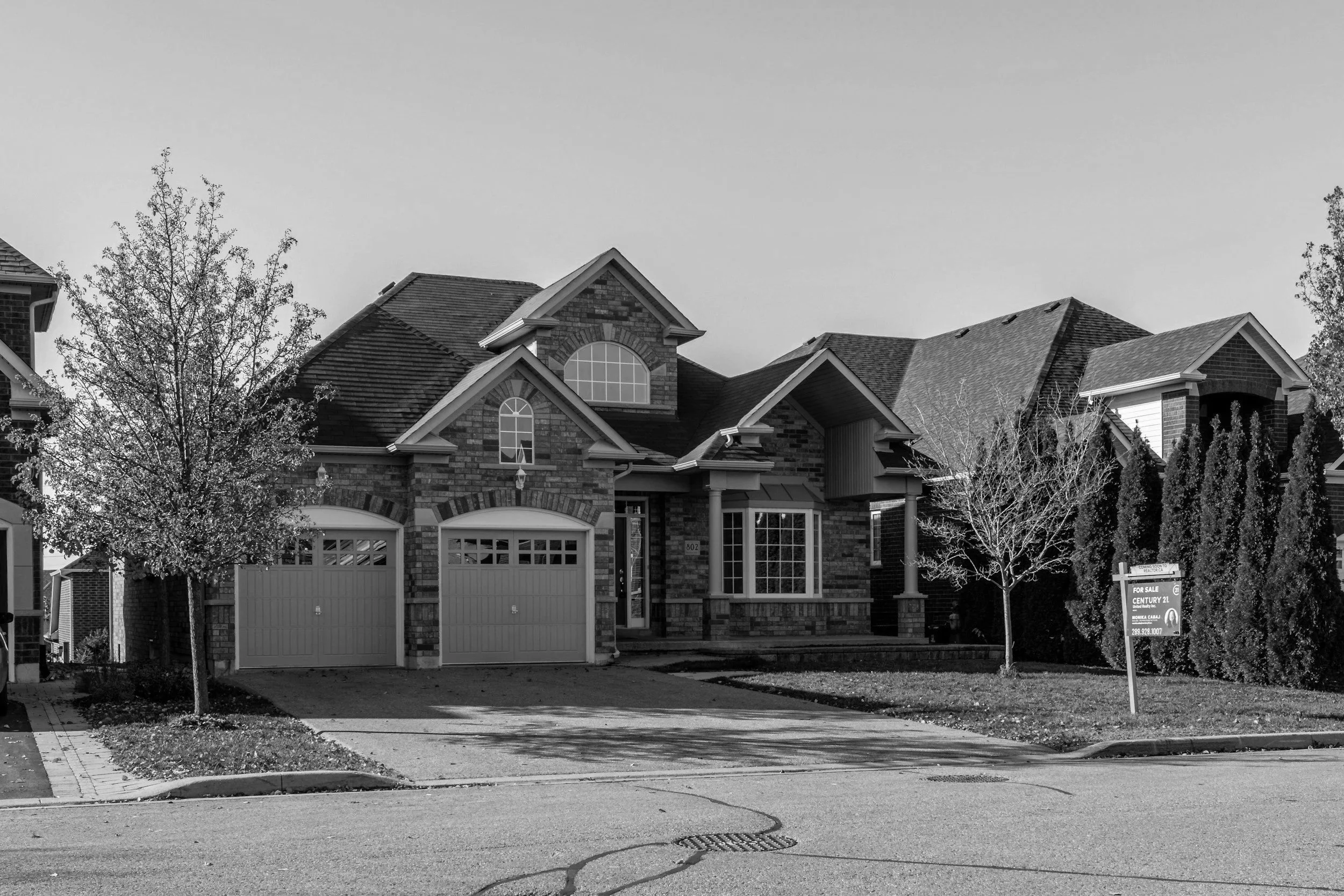
Businesses → market, lease, and manage spaces with digital records.
Contractors & Builders→ document progress & prevent costly mistakes.
Industrial → accurate records for compliance & safety.
Realtors → immersive tours that sell homes faster.
Investors & Developers → showcase assets and track milestones.
who we help
how it works
Step 1 — book your scan
Head over to our scheduling page and select a time and date that works for you. You’ll fill out a form telling us about your project and we’ll reach out with a proposal and customized quote.
Step 2 – We Capture Your Space
Using LiDAR-powered scanning and drone imaging, we document every detail of your property quickly and accurately. Most scans are completed in just a few hours.
Step 3 – Get Your Digital Twin
Within days, you’ll receive your deliverables: a shareable 3D tour, measurement tools, and CAD/BIM-ready files if needed. Everything is accessible online and easy to use.